Catalog Archive
Auction 111, Lot 214
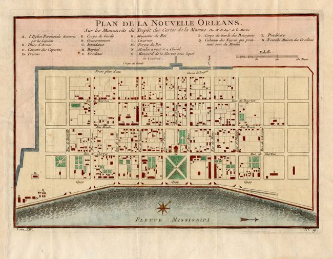
"Plan de la Nouvelle Orleans. Sur les Manuscrits du Depot des Cartes de la Marine", Bellin, Jacques Nicolas

Subject: Colonial Louisiana
Period: 1760 (circa)
Publication:
Color: Hand Color
Size:
10.8 x 7.7 inches
27.4 x 19.6 cm
Download High Resolution Image
(or just click on image to launch the Zoom viewer)
(or just click on image to launch the Zoom viewer)

