Catalog Archive
Auction 111, Lot 194
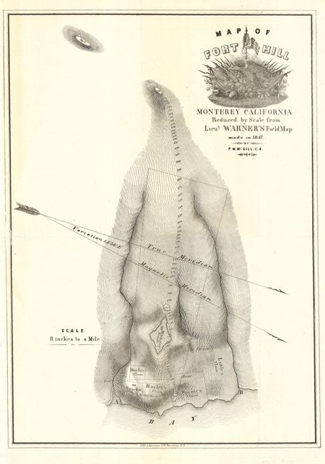
"Map of Fort Hill Monterey California Reduced by Scale from Lieut Warner's Field Map made in 1847 by P.M. McGill, C.E.", U.S. War Department

Subject: California
Period: 1850 (published)
Publication: HR Doc. 17, 31st Congress, 1st Session
Color: Black & White
Size:
9.2 x 13 inches
23.4 x 33 cm
Download High Resolution Image
(or just click on image to launch the Zoom viewer)
(or just click on image to launch the Zoom viewer)

