Subject: Southern United States
Period: 1850 (dated)
Publication: Mitchell's New Universal Atlas
Color: Hand Color
Size:
11.7 x 14.3 inches
29.7 x 36.3 cm
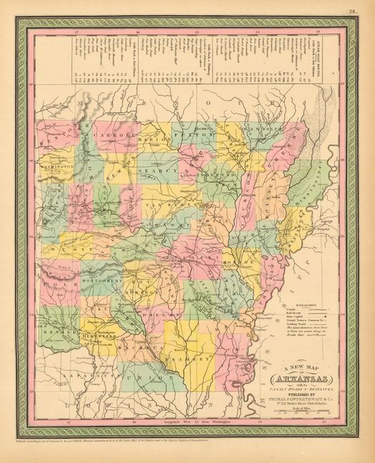
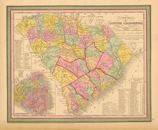
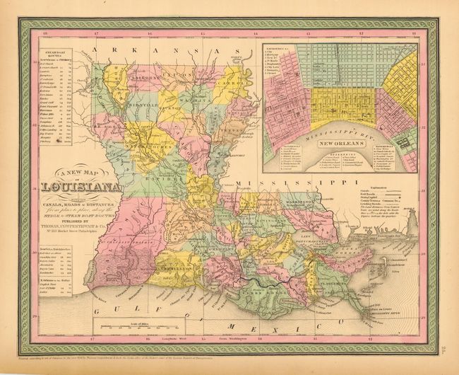
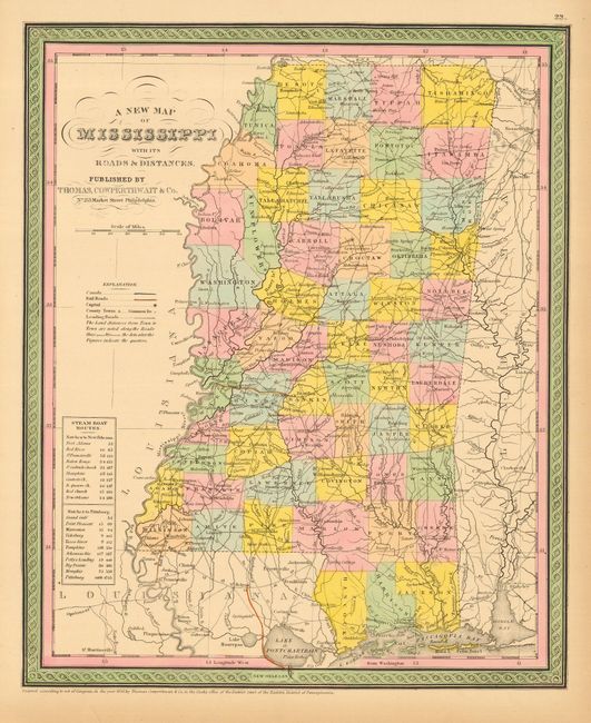
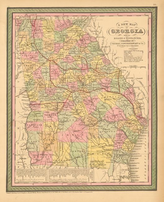
Nice lot of steel engraved maps of southern states, all with Mitchell's fine engraving style and decorative borders. Each is a well detailed map that shows numerous cities, towns, roads, railroads and steamboat routes. Lot includes 1) A New Map of Arkansas with its Canals Roads & Distances. 2) A New Map of South Carolina with its Canals, Roads & Distances from place to place, along the Stage & Steam Boat Routes. 3) A New Map of Louisiana with its Canals, Roads & Distances from place to place, along the Stage & Steam Boat Routes. 4) A New Map of Mississippi with its Roads & Distances. 5) A New Map of Georgia with its Roads & Distances. Each approximately the size given.
References:
Condition: A
All with fine impressions and coloring, with full margins. Marginal toning on all, and Louisiana with a small chip out of lower right corner.


