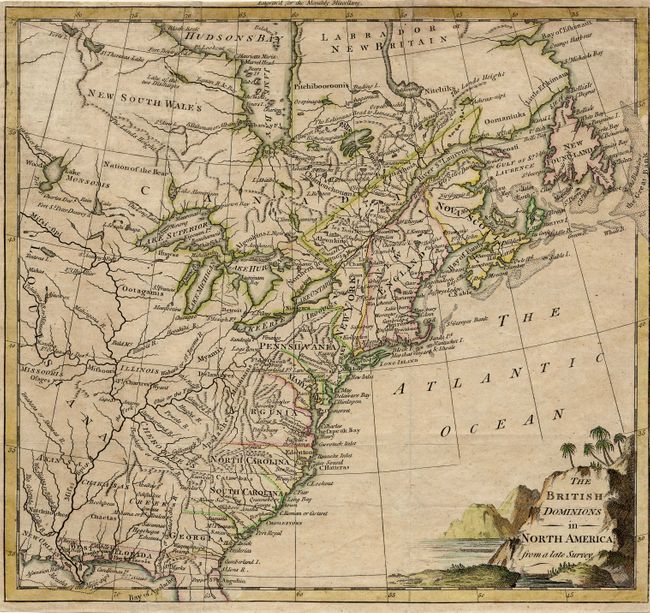
"The British Dominions in North America from a late Survey", Anon.
Subject: Colonial United States & Canada
Period: 1774 (circa)
Publication: Monthly Miscellany
Color: Hand Color
Size:
10 x 9.2 inches
25.4 x 23.4 cm
A rare map of the eastern part of North America with the colonies confined along the eastern seaboard and Indian villages and forts shown west of the Appalachian Mountains. The title is enclosed in a decorative cartouche filling the Atlantic. The Monthly Miscellany magazine was a short lived publication issued between January 1774 and September 1777. This is the only map that appeared in it, and examples are rarely seen on the market.
References: Jolly MONMISC-1; McCorkle #774.2.
Condition: B
Issued folding with narrow margins (nearly to neatline at right). Couple of tissue reinforced folds.