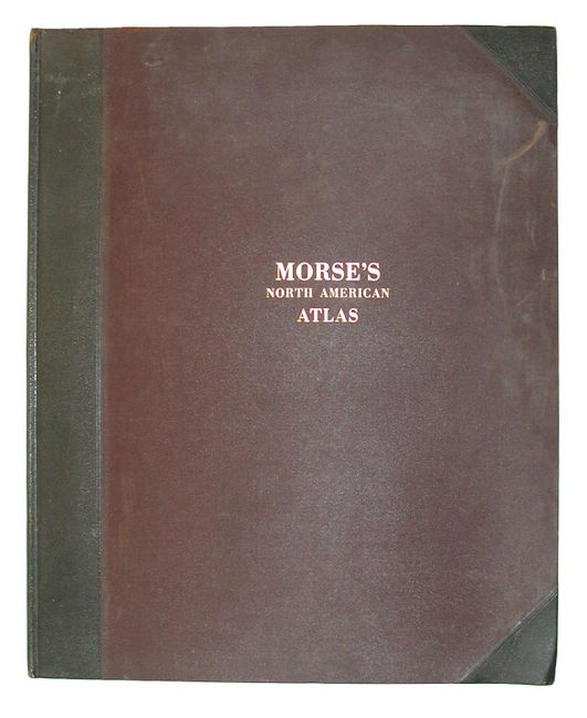
Subject: Atlases
Period: 1842 (dated)
Publication:
Color: Printed Color
Size:
14 x 17.5 inches
35.6 x 44.5 cm
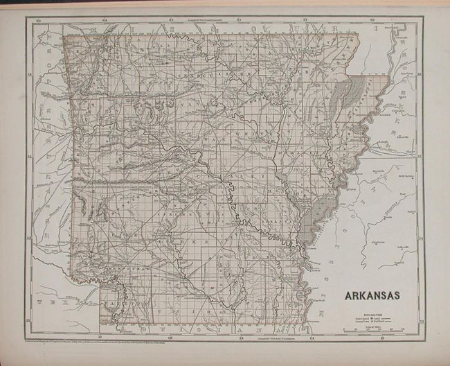
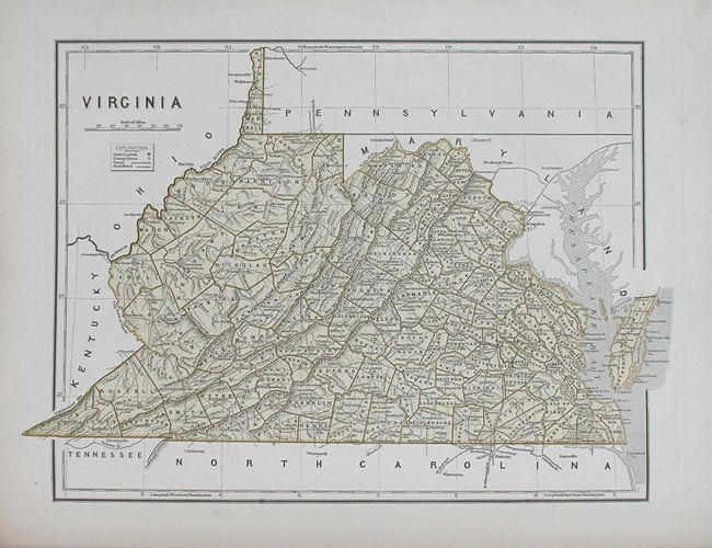
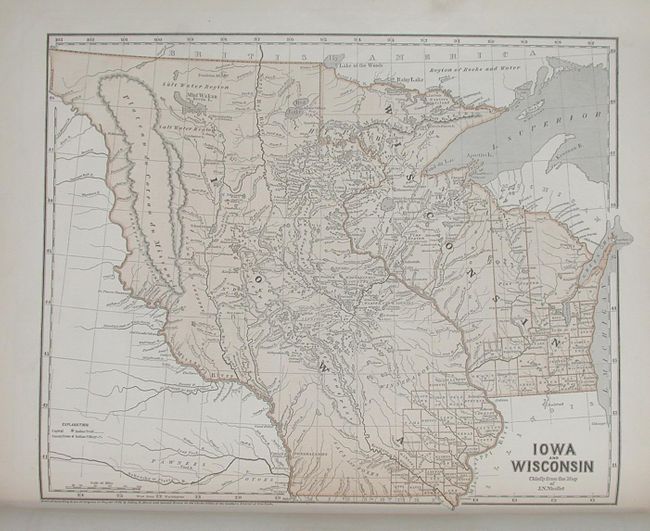
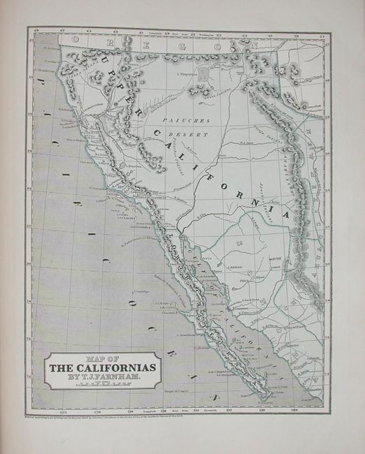
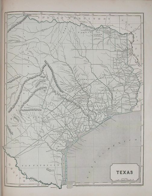
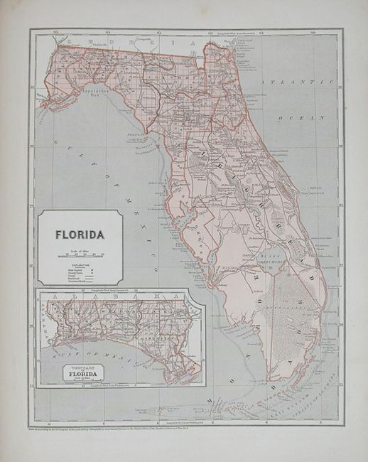
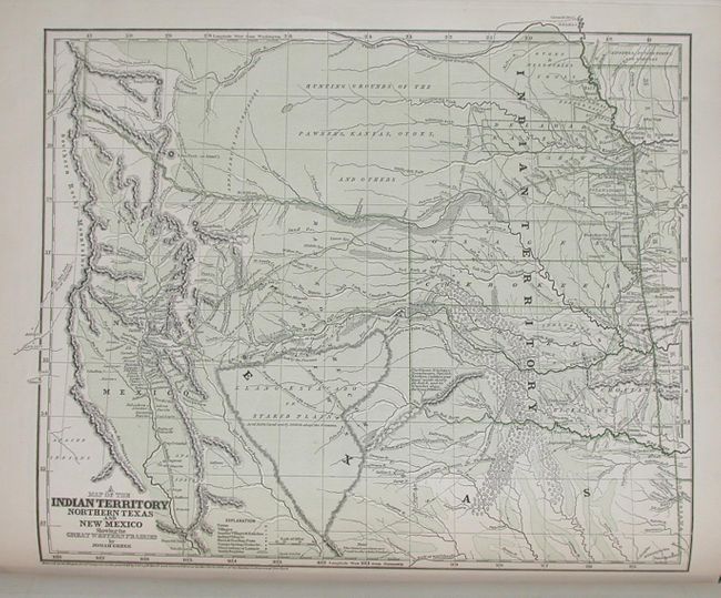
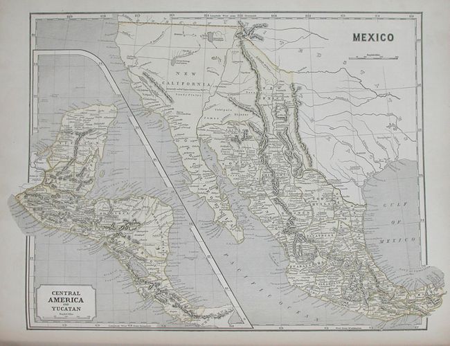
Lovely and complete example of one of the first atlases to employ the wax engraving (cerographic) method to produce its printed color maps. Filled with interesting maps including a great Texas and a fascinating "Map of the Californias" that includes all of the Southwest. The map of Wisconsin and Iowa features a huge Iowa territory that extends to Canada and has the Missouri River as it's western boundary. A second map of Wisconsin shows only the southern, developed portion. The most remarkable map is Josiah Gregg's "A Map Of The Indian Territory Northern Texas and New Mexico Showing the Great Western Prairies." This map was based on Humboldt's map of New Spain, Stephen Long's expedition, the surveys by J.C. Brown, and Gregg's own observations. It is filled with fascinating information, and has been called "one of the most useful maps of this region of that day." The map was also published in Gregg's Commerce of the Prairies: or the Journal of a Santa Fe Trader. Hardbound in leather with gilt embossing on cover, with black leather spine and tips. Title page, 35 maps. Maps exactly match list on title page. A scarce and most desirable atlas in very nice condition.
Sidney Morse was a geographer, inventor and journalist. He was the son of the geographer Jedidiah Morse and the brother of Samuel F.B. Morse, inventor of the electric telegraph. Morse & Breese pioneered the cerographic process to produce maps in printed color using a form of lithography.
References: Phillips (A) 1228; Rumsey #2301
Condition: A
Covers with a little wear and a few rubbed spots to leather on spine. Maps are very good to fine. Some with occasional very light a scattered foxing.