Catalog Archive
Auction 110, Lot 660

"[Lot of 2] Kaart van Opper en Neder Guinee, van de Rivier Sierra Leona tot Kaap Negro [with] Carte de la Coste Occidentale d' Afrique", Various

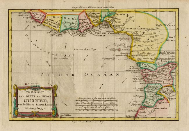
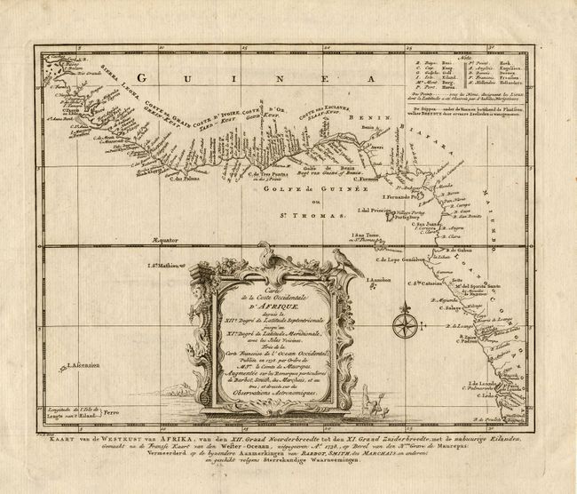
Subject: Western Africa

Period: 1760-85 (circa)

Publication:

Color:

Size:
See Description
Download High Resolution Image
(or just click on image to launch the Zoom viewer)

Two nice copper engraved maps showing the various European forts along the western coast of Africa. First, (12.5 x 8.2") by Willem Albert Bachiene, circa 1785, covers from Sierra Leone to Cape Negro. It is hand colored with a decorative title cartouche. The second map (9.5 x 7.5") is a Dutch edition of Bellin's map engraved by J. van der Schley, circa 1760. It covers a slightly larger section of the coast with a bit more detail including a key showing the various European powers. It is uncolored and embellished with a lovely title cartouche and a compass rose.

References:

Condition: A

Estimate: $120 - $160

Unsold

Closed on 3/2/2005

Archived