Catalog Archive
Auction 110, Lot 550

"Carte des Royaumes d'Espagne et de Portugal", Bonne, Rigobert

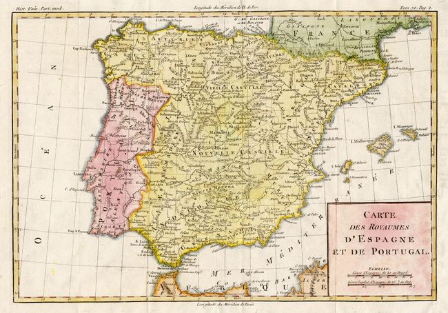
Subject: Spain & Portugal

Period: 1770 (circa)

Publication:

Color: Hand Color

Size:
13.3 x 9.1 inches
33.8 x 23.1 cm
Download High Resolution Image
(or just click on image to launch the Zoom viewer)

Delicately engraved map locating all major towns and villages, mountains and rivers. Includes the Balearic Islands, the Pyrennes and north to Toulouse. Two distance scales and block-style cartouche.

References:

Condition: A

Good impression and later coloring with slight show through of red on verso. Paper added to lower right margin at binding trim. A couple of spots, still very good.

Estimate: $60 - $80

Sold for: $30

Closed on 3/2/2005

Archived