Catalog Archive
Auction 110, Lot 202

"Plan of the Harbour of New-York and Parts adjacent", Millar, Andrew
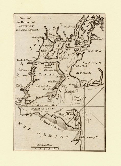
Subject: New York

Period: 1780 (circa)

Publication: A New, Complete, and Universal System of Geography

Color: Black & White

Size:
4 x 5.7 inches
10.2 x 14.5 cm
Download High Resolution Image
(or just click on image to launch the Zoom viewer)

A copper engraved map with remarkably fine engraving. Extends to include Staten Island, Coney Island, Sandy Hook, Barren Neck, Oyster Bank, and the southern portion of Long Island. Locates Amboy, Woodbridge, Raway, Elizabeth Town, Newwark, Harlem, a light house on Sandy Hook, and much more. The ferry location in Brooklyn, here Red Hook, is clearly shown.

References:

Condition: B

Trimmed to neatline and hinged at top to acid-free board. A tiny amount of light foxing, otherwise fine.

Estimate: $80 - $100

Sold for: $120

Closed on 3/2/2005

Archived