Subject: United States - Southwestern
Period: 1893 (circa)
Publication: Senate Doc #68, 52nd Cong., 2nd Sess.
Color: Black & White
Size:
49.5 x 33.7 inches
125.7 x 85.6 cm
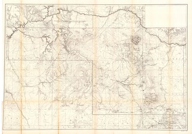
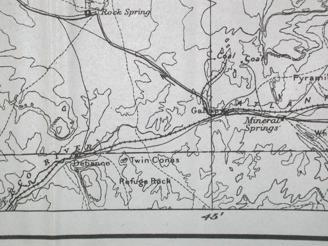
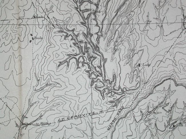
A detailed map of the Navajo Indian Reservation in northeastern Arizona and northwestern New Mexico. Shows location of irrigation ditches, springs, wells, creeks, rivers, canyons, valleys, mountains, mesas, villages, lakes and passes. Terrific detail and much information including contour intervals at 1000 feet. Locates and names Monument Valley, the Hopi Mesas with Walpi, Oraibi, Keams Canyon, Canyon de Chelly, Canyon del Muerto, Pyramid Rock, Fort Wingate, Fort Defiance, the Crossing of the Fathers, and much more. Also depicts the routes of exploration of Lieutenants Brown, Suplee and Gurovits during their water supply investigations in 1892. Includes a Notation of Executive Order that takes away part of the Navaho Reservation in Utah and puts it into the Public Domain!
References:
Condition: B
Very good condition less some folds with toning. Issued folding, now backed with archival tissue.