Catalog Archive
Auction 109, Lot 567

"[Lot of 2] L'Isle de Malthe… [with] Plan des Vieilles et Nouvelles Fortifications de Malthe…", Fer, Nicolas de

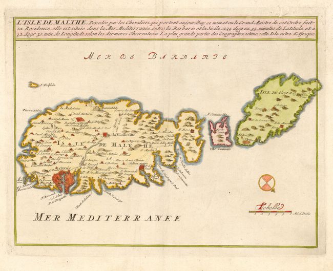
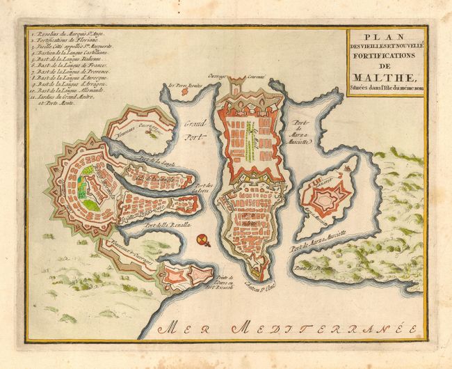
Subject: Mediterranean - Malta

Period: 1696 (circa)

Publication: Les Forces de l' Europe…

Color: Hand Color

Size:
11 x 8.4 inches
27.9 x 21.3 cm
Download High Resolution Image
(or just click on image to launch the Zoom viewer)

Nice matched pair of maps of the strategically important Mediterranean island. First is a handsome map of Malta, Comino and Gozo that illustrates the settlements, fortifications, and the partially completed Wignacourt aquaduct. The city and harbor of Valletta is drawn on Malta's eastern coast with its new fortifications. The second is a bird's-eye plan of the organization of the fortifications of Valletta, then the most advanced in the world.

References: Pollak p. 40.

Condition: A

Couple of printer's creases and minor foxing in blank margins.

Estimate: $550 - $650

Sold for: $400

Closed on 12/1/2004

Archived