Catalog Archive
Auction 109, Lot 480

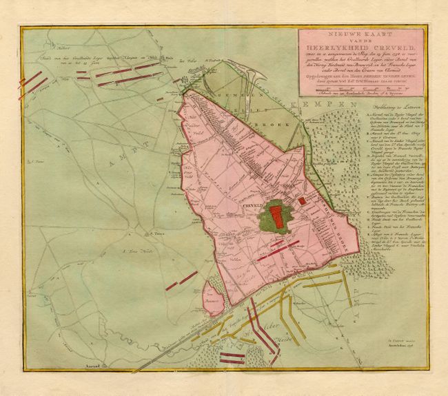
"Nieuwe Kaart van de Heerlykheid Creveld…", Tirion, Isaac

Subject: Germany

Period: 1758 (dated)

Publication: Nieuwe en Beknopte Hand Atlas

Color: Hand Color

Size:
16.7 x 14.2 inches
42.4 x 36.1 cm
Download High Resolution Image
(or just click on image to launch the Zoom viewer)

This is an extremely detailed map of Krefeld depicting the battle between the Hanoverian army and the French army during the Seven Years' War in June 1758. During the battle the Hannoverian army led by Ferdinand, son of the Duke of Brunswick, drove the French back across the Rhine. The chart is detailed down to the individual houses and shows the troop placements. A key at right describes the battle.

References:

Condition: A+

Original color and wide margins.

Estimate: $180 - $220

Sold for: $130

Closed on 12/1/2004

Archived