Catalog Archive
Auction 109, Lot 356

"A Map of England, Wales & Scotland, describing all the Direct and principal Cross Roads in Great Britain, with the Distances measured between the Market Towns and from London; Likewise the Great Rivers and Navigable Canals", Wyld, James
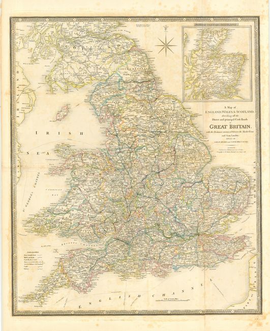
Subject: Britain

Period: 1838 (dated)

Publication: New General Atlas

Color: Hand Color

Size:
23.8 x 28.2 inches
60.5 x 71.6 cm
Download High Resolution Image
(or just click on image to launch the Zoom viewer)

Large-scale map with the counties of England and Wales nicely colored in outline. Scotland is shown as far a Perthshire, with the northern section inset. A very attractive road map with great detail of roads, canals, railways and the distances between Market Towns. James Wyld was successor to William Faden, one of the luminaries of late eighteenth century publishing in England. Wyld maintained the high standard of graphic and factual excellence that had been established by his predecessor and his maps are among the finest published in the early nineteenth century. Printed on two joined sheets, as issued.

References:

Condition: B

Light scattered foxing.

Estimate: $150 - $200

Sold for: $110

Closed on 12/1/2004

Archived