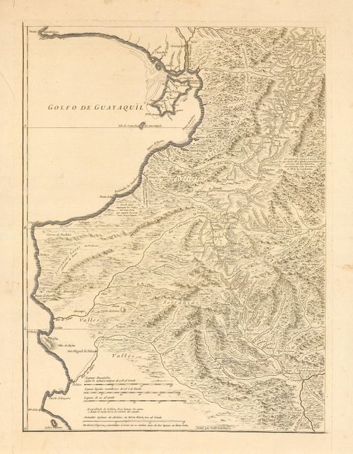
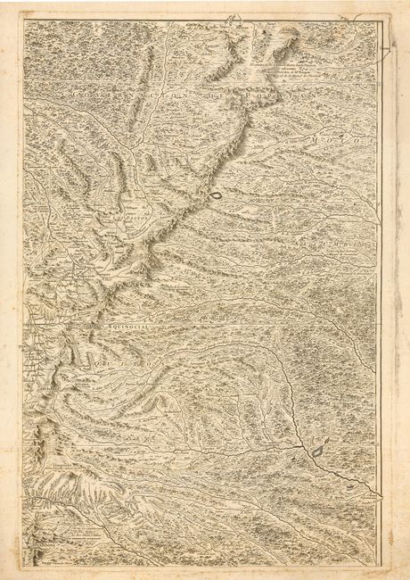
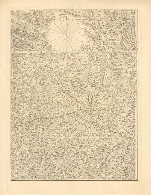
Subject: Ecuador, Peru and Colombia
Period: 1750 (circa)
Publication:
Color: Black & White
Size:
15.5 x 22.5 inches
39.4 x 57.2 cm
Three sheets of an apparently rare 4-sheet map, the title of which we have not been able to determine. These form the northeast, southeast and southwest sections. Engraved by Delahaye, the maps provide an incredible level of detail, particularly of the headwaters of the Amazon River. These maps are the result of one of the most important scientific expeditions in cartographic history, its primary intention being to determine the precise length of a degree of longitude in the region of the equator in order to calculate the size and shape of the globe. Condamine then explored the entire course of the Amazon on his return to France. This expedition to South America became famous, due to both the scientific findings and the incredible adventures experienced by its members. All maps are approximately the same in size.
References:
Condition: B
Some scattered foxing mostly in margins.