Catalog Archive
Auction 109, Lot 230

"Gray's New Map of Saint Louis", Gray, Ormando Willis & Son
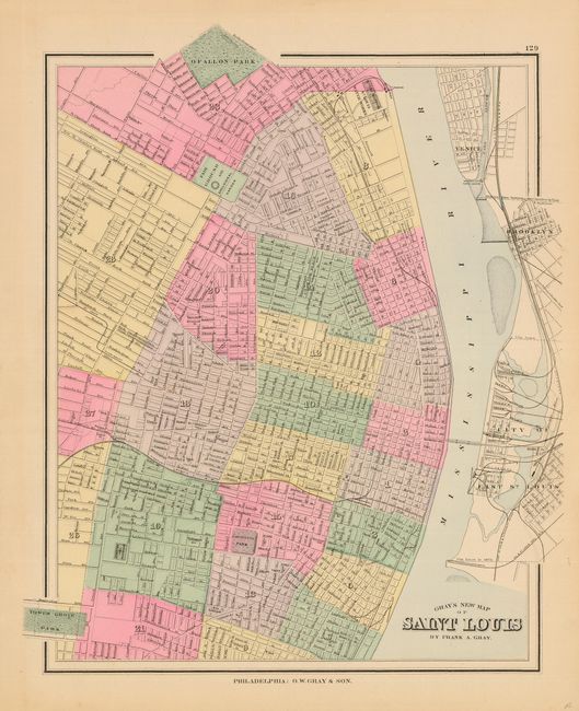
Subject: Missouri - St. Louis

Period: 1881 (published)

Publication: The National Atlas

Color: Hand Color

Size:
13 x 15.4 inches
33 x 39.1 cm
Download High Resolution Image
(or just click on image to launch the Zoom viewer)

Delicately colored and engraved plan of the city with parts of East St. Louis, Brooklyn and Venice detailed across the river. Locates Tower Grove, Lafayette, and O'Fallon parks, the water works, fair grounds, zoological garden, grain elevators, etc. A single railroad bridge crosses the Mississippi River. Well colored map includes blue wash in the river.

References:

Condition: A+

Original pastel coloring.

Estimate: $60 - $80

Sold for: $45

Closed on 12/1/2004

Archived