Subject: United States
Period: 1915-6 (dated)
Publication: Geologic Atlas of the United States
Color: Printed Color
Size:
13.6 x 17.5 inches
34.5 x 44.5 cm
The Geologic Atlas of the United States is a map folio series produced by the USGS from 1894 to 1945. Each folio includes a topographic and several thematic maps for each quad in the folio along with text pages describing the geology and economic geology for the mapped areas. Only 220 odd folios were produced, so the area covered is very limited.
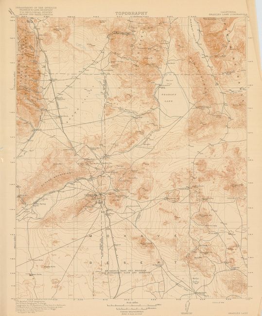
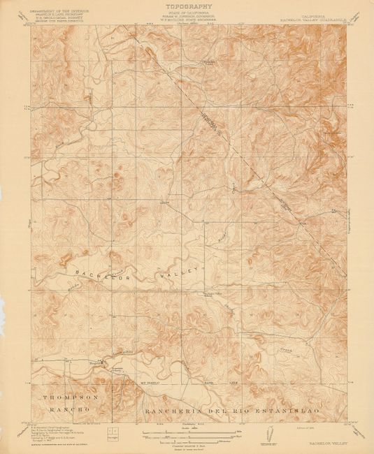
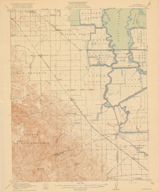
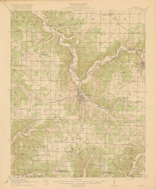
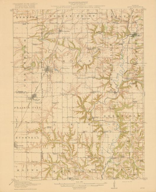
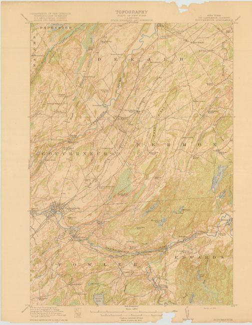
Lot of early USGS Topographic quadrangle maps showing early roads, trails, etc. A nice group that includes ten from California.
1. Illinois - Avon Quadrangle. 2. Missouri - Neosho Quadrangle. 3 - 9. Ohio - Mount Gilead Quadrangle, Shauck Quadrangle, Siam Quadrangle, (Union County) Richwood Quadrangle, East Liberty Quadrangle, Bucyrus Quadrangle, Bellefontaine Quadrangle. 10. Illinois, Illinois - Iowa Edgington Quadrangle. 11-12 Kentucky - Cornettsville Quadrangle, Kentucky - Virginia Whitesburg Quadrangle. 13. New York (St. Lawrence County) - Gouverneur Quadrangle. 14. West Virginia - Winona Quadrangle. 15. Virginia - Bucu Quadrangle. 16-25 California - Bachelor Valley Quadrangle, Saxon Quadrangle, Montpellier Quadrangle, (San Joaquin County) Tracy Quadrangle, (Monterey County) Soledad Quadrangle, Searles Lake Quadrangle, (Solano County) Dixon Quadrangle, Cooperstown Quadrangle, Byron Quadrangle, and (Stanislaus County) Paulsell Quadrangle. All roughly the size given above.
References:
Condition: A
All very good to fine condition except for Gouverneur, which has insect damage in upper and lower margin affecting distance scale, away from map image.