Subject: Western Hemisphere
Period: 1700 (circa)
Publication:
Color: Hand Color
Size:
22.5 x 19 inches
57.2 x 48.3 cm
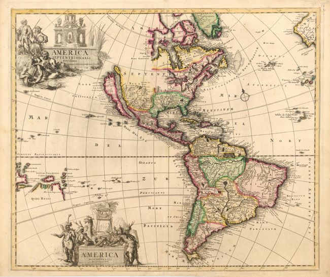
A beautiful map of the Americas with North America based on the Sanson-Jaillot model with California as an island, open ended Great Lakes and the R. del Norte flowing westward from a large inland lake. Buttons Bay and the Great Lakes are both left open-ended in the west, leaving open the possibility of a Northwest Passage. An unusual feature of the map is the pair of large elaborate cartouches, one for each continent, each surrounded by figures including natives, animals, European explorers, and a river god.
References: McLaughlin #120, Tooley p. 125 #56.
Condition: A+
Superb impression with fine original outline color, cartouches uncolored. Expert repair of a tiny fold separation at bottom.


