Catalog Archive
Auction 108, Lot 613

"Nieuwe en Naukeurige Landkaart van Nigritie, en aangrenzende Landen; als meede van Opper Guinee…", Bachiene, Willem Albert

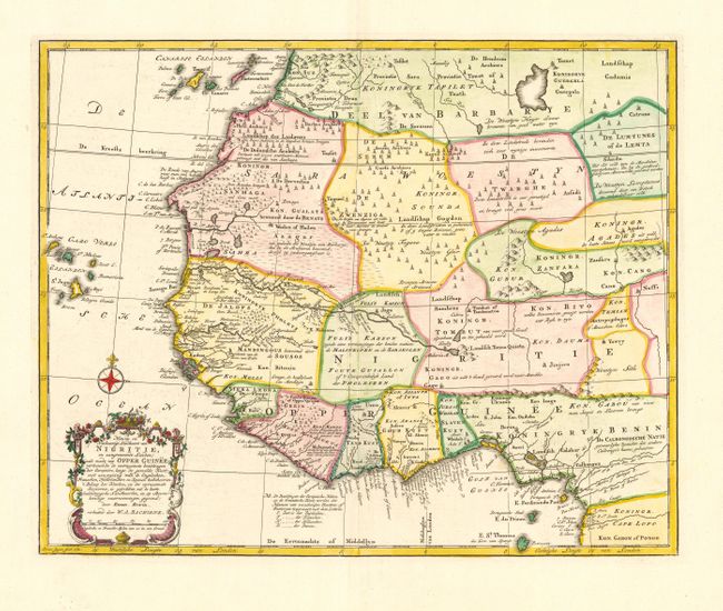
Subject: Western Africa

Period: 1780 (dated)

Publication:

Color: Hand Color

Size:
16.5 x 13.2 inches
41.9 x 33.5 cm
Download High Resolution Image
(or just click on image to launch the Zoom viewer)

Nice map of northwest Africa extending from the Canary Islands to St. Thomas and the Gulf of Guinea. The map is based on the cartography of Emanuel Bowen. It depicts various kingdoms and provides surprisingly good information, especially in Upper Guinea and the Kingdom of Benin. The Kingdom of Tombut, in the lower center, includes a note indicating it is a good place to purchase gold, ivory and tin. There are numerous legends referring to warring tribes and various geographical features.

References:

Condition: A+

Estimate: $200 - $250

Sold for: $150

Closed on 9/29/2004

Archived