Catalog Archive
Auction 108, Lot 609
"Carte Particuliere de l'Egypte, de la Nubie et de l'Abyssinie, dressee sur les Memoires les plus Nouveaux, &. Les Observations les plus exactes.", Chatelain, Henry Abraham
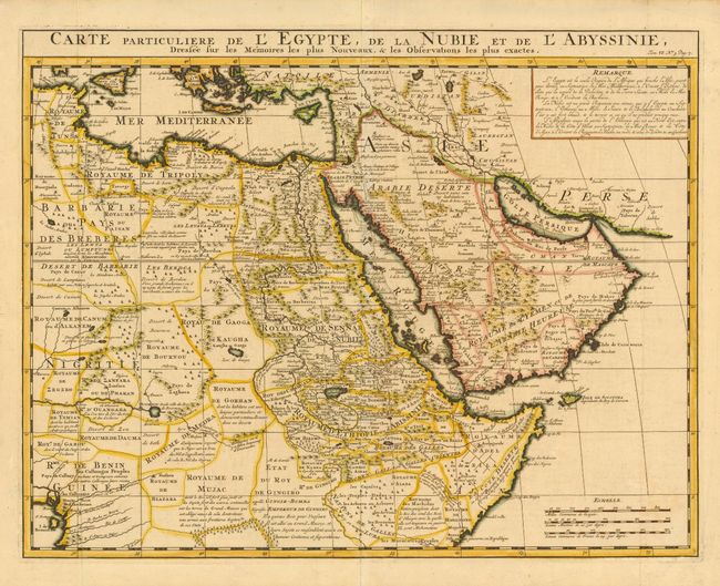
Subject: Northeast Africa and Arabia
Period: 1719 (circa)
Publication: Atlas Historique
Color: Hand Color
Size:
20 x 15.7 inches
50.8 x 39.9 cm
Download High Resolution Image
(or just click on image to launch the Zoom viewer)
(or just click on image to launch the Zoom viewer)