Catalog Archive
Auction 108, Lot 45

"Tabula Geogr. in qua admirandae navigationis cursus et recursus designatur", Pontanus, Johannes Isaksen
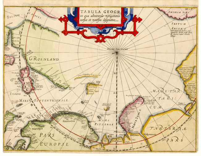
Subject: North Pole

Period: 1611 (published)

Publication: Rerum et Urbis Amstelodamensium Historia

Color: Hand Color

Size:
14 x 10.5 inches
35.6 x 26.7 cm
Download High Resolution Image
(or just click on image to launch the Zoom viewer)

Scarce map of the North Pole and Arctic regions showing recent discoveries including the voyage of Jan Willem Barentsz on his quest to find a Northeast Passage to the East Indies. At left is the mythical island of Frisland and at right is the Fretum Anian. Embellished with a large strapwork title cartouche. Published by Jodocus Hondius.

References:

Condition: B

Tight margins on three sides as issued. Bit of minor soil.

Estimate: $1,200 - $1,400

Sold for: $1,000

Closed on 9/29/2004

Archived