"Nouveau Planisphere indiquant les grandes divisions physiques et politiques de la Terre la Geographie statistique et industrielle des differents etats, les Colonies Europeenues et l'Epoque des principales decouvertes", Vuillemin, Alexander A.
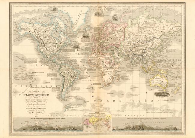
Subject: World
Period: 1854 (dated)
Publication:
Color: Hand Color
Size:
34.7 x 26 inches
88.1 x 66 cm
Very large and beautifully engraved map of the world on Mercator's Projection. Two large insets show the relative height of mountains in both hemispheres. A third inset shows the locations of various races around the world. Within the map are six well rendered vignettes depicting sailing, fishing, whaling and sailors attacked by a polar bears. The map is filled with details of each country, sailing routes and other historical and exploration information including a surprising amount of detail in Antarctica. A most attractive chart in remarkable condition for its size.
References:
Condition: A
Fine impression and coloring. Two insignificant spots and a hint of centerfold toning. Folding, as issued.