Catalog Archive
Auction 108, Lot 207

"[Lot of 2] New-Jersey [and] Map of New Jersey Reduced from T. Gordon's map", Various
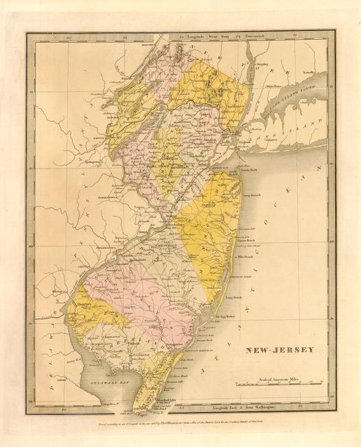
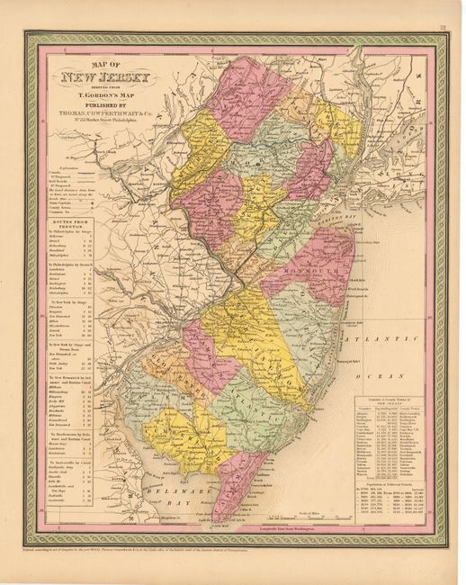
Subject: New Jersey

Period: 1835-50 (dated)

Publication:

Color: Hand Color

Size:
See Description
Download High Resolution Image
(or just click on image to launch the Zoom viewer)

Nice pair of state maps illustrating the rapid state of development in the first half of the nineteenth century. First (10.1 x 12.5"), by David Burr was published in A New Universal Atlas by Thomas Illman in 1835. It shows only 14 counties. The second map (12.5 x 15") was published by Thomas, Cowperthwait & Co. in their New Universal Atlas in 1850. By this time six more counties have been organized, making a total of twenty. Both maps provide good detail throughout locating numerous towns and villages, rivers, canals, wagon roads and railroads.

References:

Condition: A

Estimate: $300 - $350

Unsold

Closed on 9/29/2004

Archived