Catalog Archive
Auction 107, Lot 550

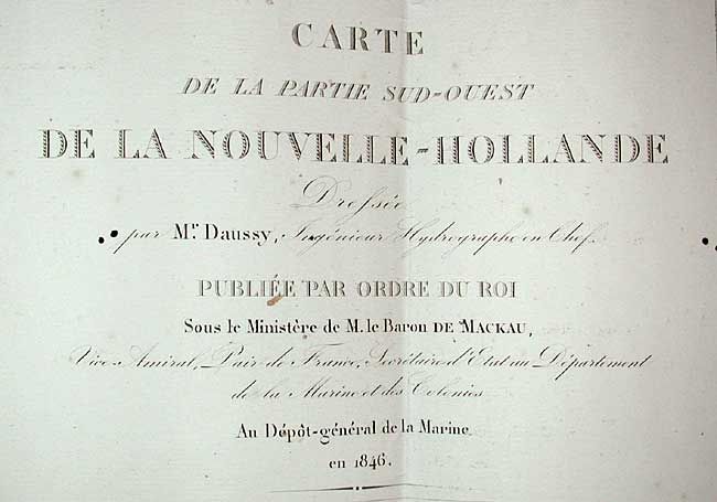
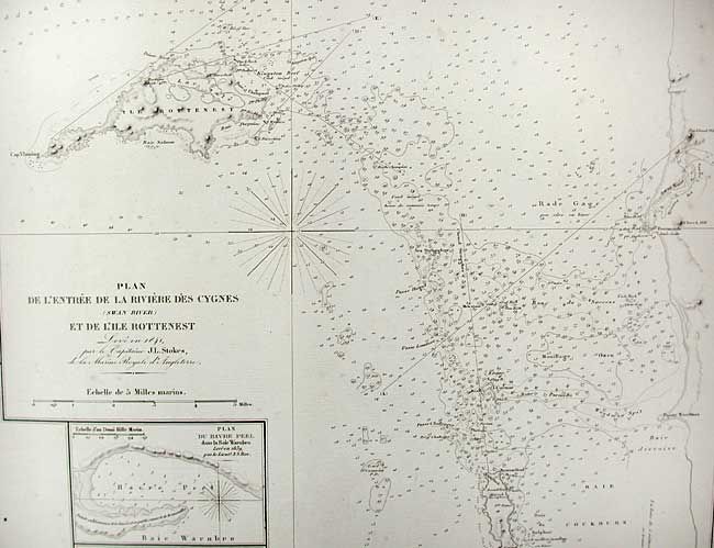
"Carte de la Partie Sud-Ouest de la Nouvelle-Hollande…", Depot de la Marine
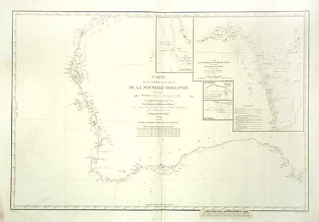
Subject: Australia

Period: 1846 (dated)

Publication:

Color: Black & White

Size:
34.7 x 23 inches
88.1 x 58.4 cm
Download High Resolution Image
(or just click on image to launch the Zoom viewer)

Large-scale sea chart covering the southwest coast of Australia from Dampier Archipelago to Port Lincoln with typical fine detail. Insets include Plan du Port Grey nomme aussi Baie Champion, Plan de l'entrée de la Riviere des Cygnes (Swan River) et de l'Ile Rottenest, Plan du Havre Peel dans la Baie Warnbro, and Plan de la Baie Warnbro.

References:

Condition: B

Overall clean with a few minor small spots in map. Some water damage in margins, not affecting map.

Estimate: $200 - $250

Sold for: $180

Closed on 6/9/2004

Archived