Catalog Archive
Auction 107, Lot 367

"Gouvernemens de Normandie et du Havre…", Brion de la Tour/Desnos
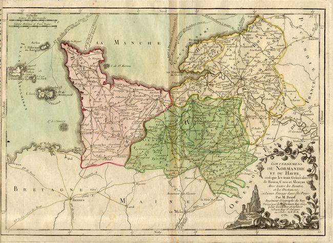
Subject: France

Period: 1771 (dated)

Publication: Atlas General Methodique et Elementaire

Color: Hand Color

Size:
22 x 17.5 inches
55.9 x 44.5 cm
Download High Resolution Image
(or just click on image to launch the Zoom viewer)

A very attractive sheet showing all of the Normandy coast plus the islands of Guernsey, Jersey and Alderney. Detailed map shows numerous villages and towns, roads and political division. The map (13 x 9") includes a pictorial title cartouche and is surrounded in an elaborate baroque-style border featuring cherubs and flanked by panels of French text.

References: cf. Phillips (A) #3509.

Condition: B

Toned along centerfold and a small area of foxing near bottom.

Estimate: $160 - $200

Sold for: $100

Closed on 6/9/2004

Archived