Catalog Archive
Auction 107, Lot 304
"A General Map of Great Britain and Ireland with Part of Germany, Holland, Flanders, France &c.", Moll, Herman
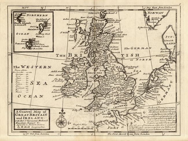
Subject: Britain
Period: 1732 (published)
Publication: Atlas Minor
Color: Black & White
Size:
10.2 x 7.8 inches
25.9 x 19.8 cm
Download High Resolution Image
(or just click on image to launch the Zoom viewer)
(or just click on image to launch the Zoom viewer)