Catalog Archive
Auction 107, Lot 168

"County Map of California and Nevada", Warner & Beers
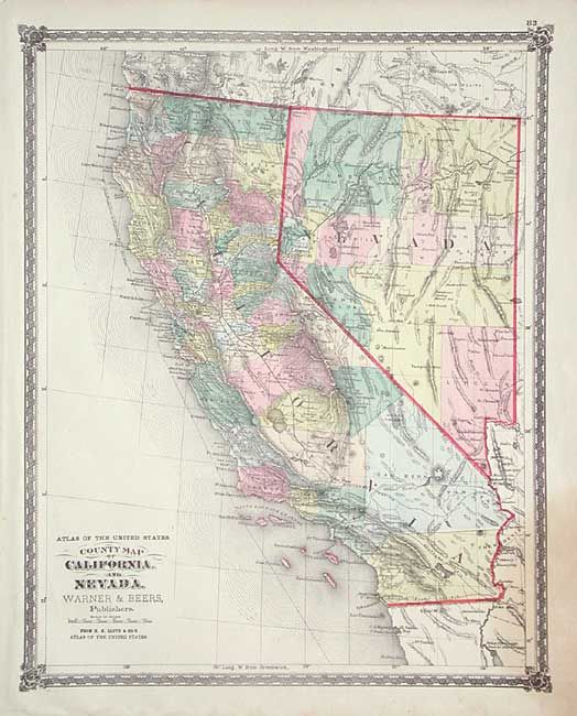
Subject: California

Period: 1872 (circa)

Publication: Atlas of the United States

Color: Hand Color

Size:
13.3 x 17 inches
33.8 x 43.2 cm
Download High Resolution Image
(or just click on image to launch the Zoom viewer)

Very nice map with much detail and fine coloring. Locates numerous railroads, cities and towns, watershed, forts, and more. Early county development in the south with a huge San Bernardino Country extending nearly across the state. Railroads well developed with the lines in or planned to Ft. Yuma, Needles, and extending north to Redding. A handsome and uncommon map with decorative borders.

References:

Condition: B

Stain at lower right corner, else very good.

Estimate: $140 - $180

Sold for: $100

Closed on 6/9/2004

Archived