Catalog Archive
Auction 107, Lot 143

"County Map of Kansas, Nebraska, Dakota and Minnesota", Warner & Beers

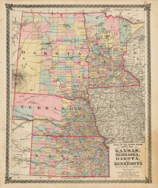
Subject: United States - Central

Period: 1872 (circa)

Publication: Atlas of the United States

Color: Hand Color

Size:
14.3 x 17.5 inches
36.3 x 44.5 cm
Download High Resolution Image
(or just click on image to launch the Zoom viewer)

Very nice map with much detail that locates numerous railroads, cities and towns, watershed, forts and more. The western part of Nebraska and Dakota Territory are largely unorganized. Railroads are well developed throughout much of the region, but two end abruptly in Dakota Territory - one at Bismark and another in Greeley County. An uncommon map with decorative borders.

References:

Condition: B

Good color and impression. Some light scattered foxing and stain in lower right corner.

Estimate: $100 - $120

Unsold

Closed on 6/9/2004

Archived