Catalog Archive
Auction 107, Lot 128

"New Official Railroad Map of the United States and Canada", Rand McNally & Co.

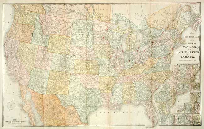
Subject: United States

Period: 1885 (dated)

Publication:

Color: Printed Color

Size:
42.5 x 26.5 inches
108 x 67.3 cm
Download High Resolution Image
(or just click on image to launch the Zoom viewer)

Very large, colorful map with terrific railroad detail along with wagon roads, watershed, cities and villages, etc. Insets "Map of Atlantic Coast States Engraved on a Large Scale," plus individual city plans of Boston, Cincinnati, New York, Philadelphia, St. Louis, Chicago, Buffalo & Niagara Falls, and Washington.

References:

Condition: A

Issued folding, now backed with archival tissue.

Estimate: $250 - $300

Sold for: $180

Closed on 6/9/2004

Archived