Subject: United States
Period: 1856 (dated)
Publication:
Color: Hand Color
Size:
61 x 58 inches
154.9 x 147.3 cm
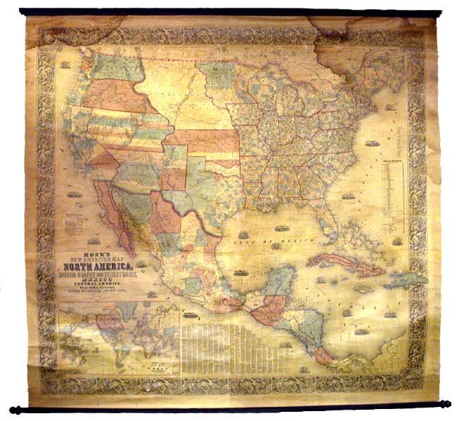
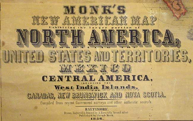
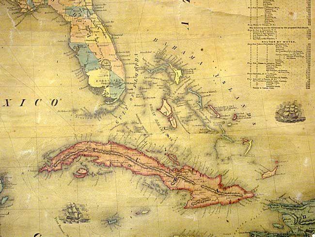
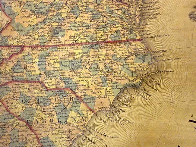
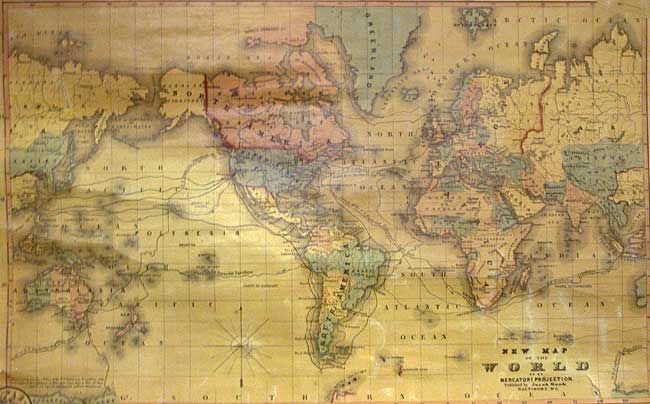
A majestic wall map that was published as the United States was expanding westward to the Pacific following the land gains from the Mexican War and the excitement from the California gold discoveries. Territorial development includes Utah, New Mexico, Kansas, and Nebraska. Washington and Oregon extend to the Continental Divide and to Nebraska Territory, which itself extends to Minnesota. Utah fills the large region between California and Kansas Territory. Oklahoma is unnamed and divided into three regions: Chah-lah-kee, Miscogee, and Cha-Ta. Minnesota includes Dakota, which has two regions: Pembina and Blue Earth. Details two proposed rail routes to the Pacific, plus the Oregon and California trails. The gold region in California is well detailed and filled with cities and roads. Names scores of towns and mining areas including Auburn, Coloma, Placerville, etc. No sign of Lake Tahoe. The map is filled with wagon routes, explorer trails, forts, Indian tribes, and so much more. Table of distances and another lists over 1,200 counties and county seats. Large inset of the World on Mercator's projection. Published by Hoen & Company.
References:
Condition: A
Lovely condition for a map of this size and age. Varnish quite bright and clear, both wooden rollers fully attached. Tide marks at both upper corners.