Catalog Archive
Auction 106, Lot 96

"Map of North America Designed to Accompany Smith's Geography for Schools", Burgess, Daniel

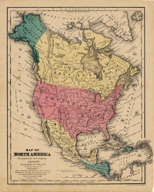
Subject: North America

Period: 1853 (dated)

Publication: Smith's Geography for Schools

Color: Hand Color

Size:
8.3 x 10.7 inches
21.1 x 27.2 cm
Download High Resolution Image
(or just click on image to launch the Zoom viewer)

A nice example of this brightly colored map depicting an interesting period of time. The entire western region is unorganized, but a few cities are named such as S. Barbara, Sacramento City and Monterey. Alaska is Russian America and Canada is labeled New Britain. Texas still appears as an independent republic - an eight year old error! The map extends to include the Caribbean and south to Panama.

References:

Condition: B

Original coloring and good impression. A couple light spots and a soft crease, else very good.

Estimate: $80 - $100

Sold for: $75

Closed on 3/3/2004

Archived