Catalog Archive
Auction 106, Lot 664

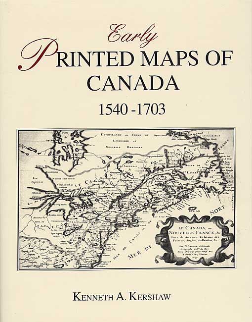
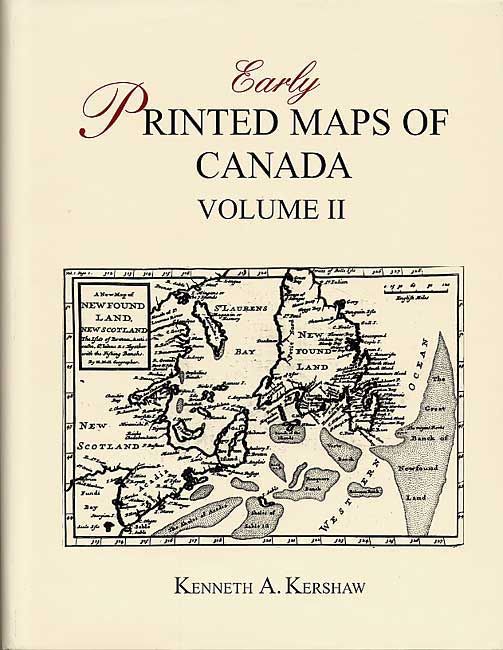
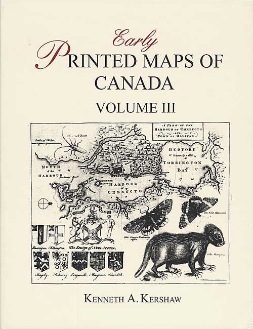
"[Lot of 3] Early Printed Maps of Canada 1540-1703, Vol. I, II, III", Kershaw, Kenneth A.

Subject: Reference Books

Period: 1993 (published)

Publication:

Color: Black & White

Size:
9 x 11.5 inches
22.9 x 29.2 cm
Download High Resolution Image
(or just click on image to launch the Zoom viewer)

A great reference for identifying, attributing and dating early maps of Canada. Three (of 4) volumes in the series. Includes 1000 entries profusely illustrated and well documented. The first volume covers maps of the 16th and 17th century. The second and third volume covers the period 1703 to 1799, with all regions except Quebec, Montreal and the West Coast. Hardbound in red buckram with illustrated dust jackets.

References:

Condition: A+

Slightly bumped corners, else as new.

Estimate: $300 - $400

Sold for: $300

Closed on 3/3/2004

Archived