Catalog Archive
Auction 106, Lot 633
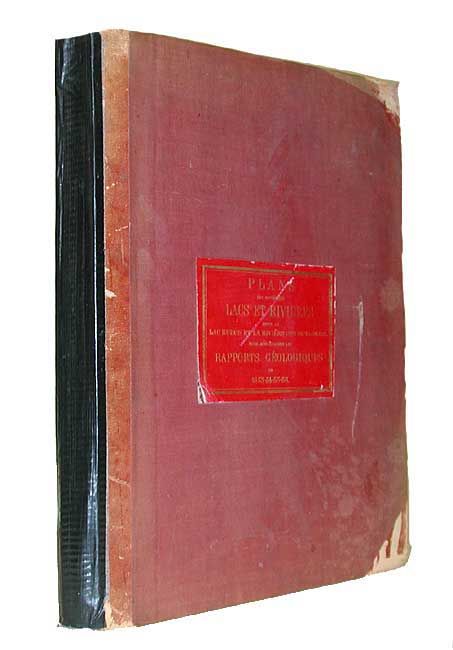
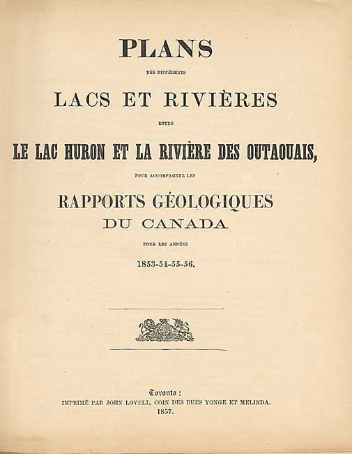
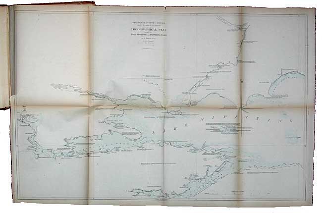
"Plans des Differents Lacs et Rivieres Entre le Lac Huron et la Riviere des Outaouais, pour Accompagner les Rapports Geologiques du Canada 1853-54-55-56"
Subject: Atlases
Period: 1857 (published)
Publication: John Lovell (publ.)
Color: Hand Color
Size:
10 x 12 inches
25.4 x 30.5 cm
Download High Resolution Image
(or just click on image to launch the Zoom viewer)
(or just click on image to launch the Zoom viewer)