Subject: Atlases
Period: 1755 (circa)
Publication:
Color: Hand Color
Size:
6 x 4.5 inches
15.2 x 11.4 cm
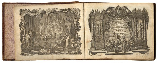
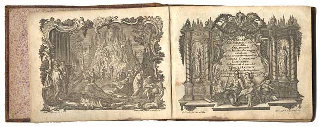
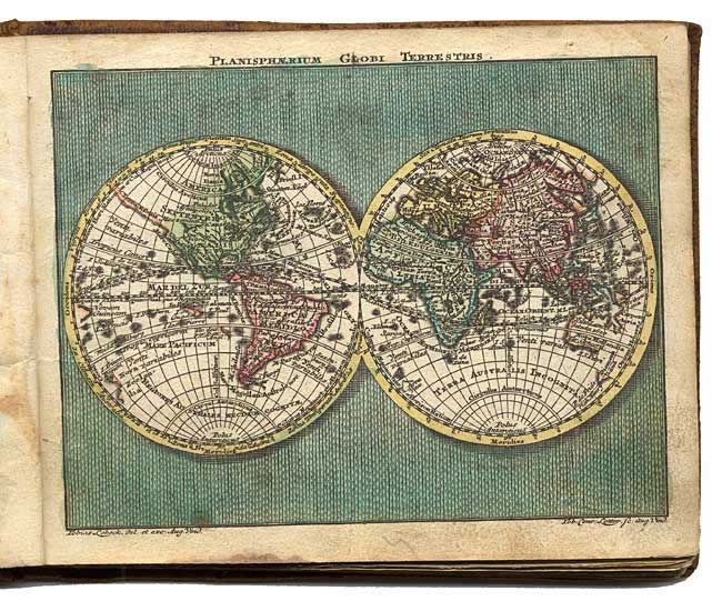
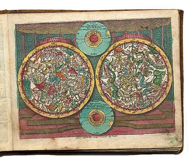
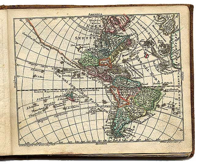
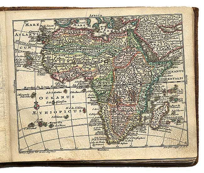
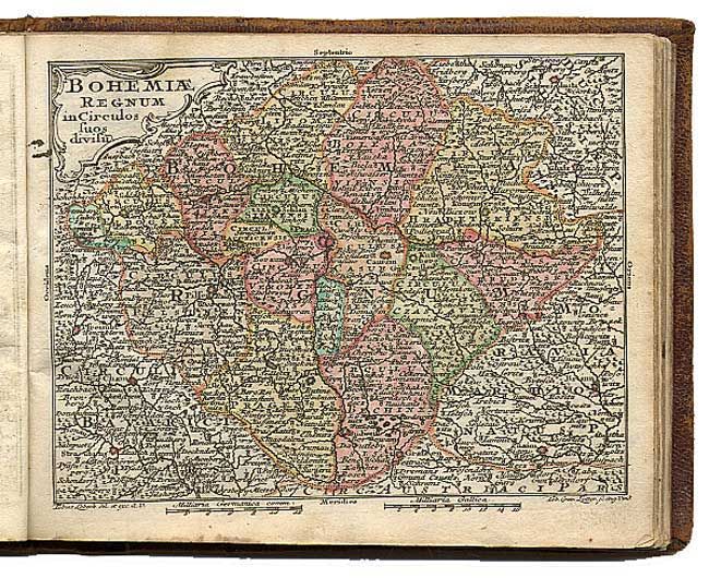
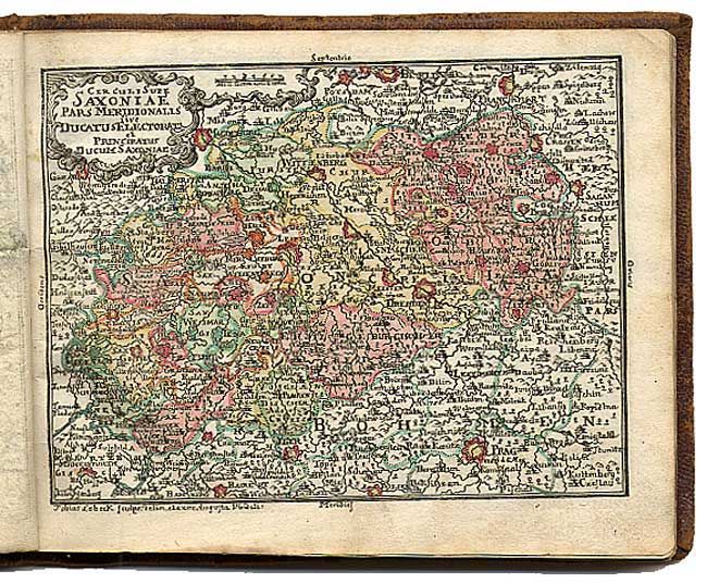
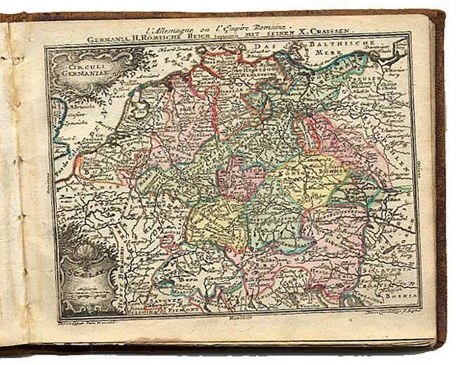
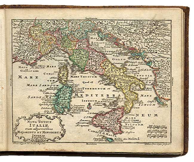
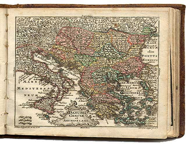
Fine little pocket atlas with decorative maps in full original color. It opens with an allegorical frontispiece, followed by a title page in an architectural cartouche, both drawn by Gottfried Eichler, junior. The maps include the celestial and terrestrial hemispheres, the continents, and detailed maps of western and eastern Europe. Most maps are embellished with a fine title cartouche. The maps are followed by a list of maps and a Geographie (72 pp.) printed for Lobeck by Johann Michael Wagner. This atlas was a collaborative publication between Tobias Conrad Lotter and Tobias Lobeck, first published in 1747 with an almanac. The atlas remained in use for many years, with the maps reprinted and with new maps added, but the title page continued to report 29 maps. This issue includes 30 maps, with Switzerland omitted, but two of Saxony included. Original embossed calf binding.
References:
Condition: B
Maps generally very good with some light soil and a bit of minor foxing. Covers well worn and starting to separate. Previous owner's stamp and signature on verso of frontispiece.