Catalog Archive
Auction 106, Lot 544

"Nlle. Galles Meridle. ou Cote Orientale de la Nouvelle Hollande", Bonne, Rigobert
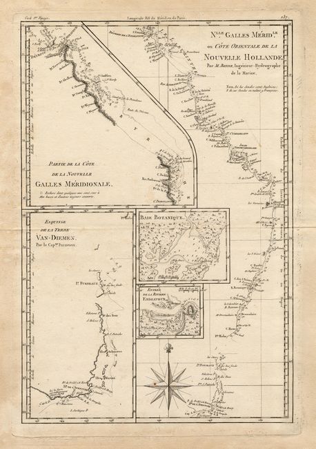
Subject: Australia

Period: 1787 (published)

Publication: Atlas Encyclopedique

Color: Black & White

Size:
9.2 x 13.6 inches
23.4 x 34.5 cm
Download High Resolution Image
(or just click on image to launch the Zoom viewer)

A fascinating sheet with five maps that detail the discoveries of Capt. Cook in Australia. The main map shows the whole of the east coast in fine detail, with soundings and the tracks of Cook's exploration. The other maps/insets are: Partie de la Côte de la Nouvelle Galles Méridionale, Esquisse de la Terre Van- Diemen, Baie Botanique and Entrée de la Rivièree Endeavour. Large compass rose at bottom.

References:

Condition: B

Nice impression on thick paper with fine watermark. Two tiny pinholes and light marginal staining.

Estimate: $140 - $160

Sold for: $100

Closed on 3/3/2004

Archived