Catalog Archive
Auction 106, Lot 510

"Islands East of Java from Baly to Timor…", British Admiralty

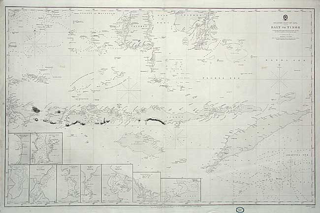
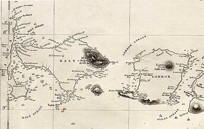
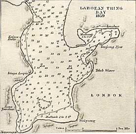
Subject: East Indies - Indonesia

Period: 1864 (dated)

Publication:

Color: Black & White

Size:
38 x 24.5 inches
96.5 x 62.2 cm
Download High Resolution Image
(or just click on image to launch the Zoom viewer)

Great large-scale sea chart of the Indonesian islands filled with impressive detail. Includes several insets of important bays and harbors. The East India Company carried out the charting and marine surveys of the region from the appointment of the first hydrographer in 1779 until the company's demise in 1858. This chart was originally published in 1851 based on these surveys and includes corrections made to May 1864 by the Hydrographic Office of the Admiralty. Label of the Blundell & Fored, Admiralty Chart Agents, Melbourne in bottom margin.

References:

Condition: B

Overall crisp and clean with a couple of light spots.

Estimate: $200 - $240

Sold for: $150

Closed on 3/3/2004

Archived