Catalog Archive
Auction 106, Lot 411
"Accuratissima Germaniae Tabula…", Allard, Carel
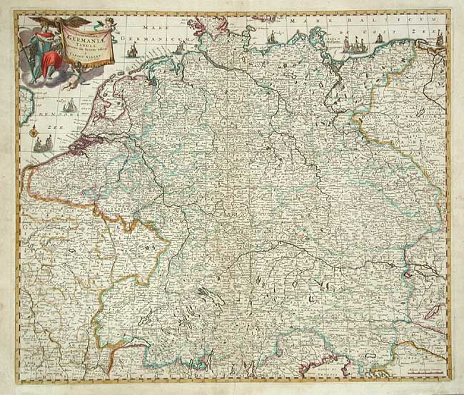
Subject: Germany and Netherlands
Period: 1700 (circa)
Publication:
Color: Hand Color
Size:
22.4 x 19.2 inches
56.9 x 48.8 cm
Download High Resolution Image
(or just click on image to launch the Zoom viewer)
(or just click on image to launch the Zoom viewer)