Catalog Archive
Auction 106, Lot 378

"Carte du Gouvernement de Bretagne", Bonne/Lattre
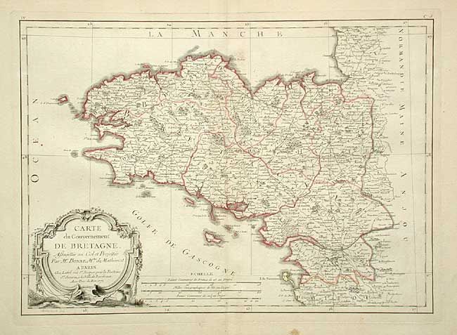
Subject: France

Period: 1771 (dated)

Publication: Atlas Moderne

Color: Hand Color

Size:
16.2 x 11.5 inches
41.1 x 29.2 cm
Download High Resolution Image
(or just click on image to launch the Zoom viewer)

Copper engraved map covering Brittany and extending below Nantes and north of Granveille. Very good detail throughout with scores of place names. Large and decorative rococo-style title cartouche. Four distance scales. Engraved by J. Arrivet.

References:

Condition: B

Dark impression on thick paper with full margins. Trace of toning along centerfold, else very good.

Estimate: $120 - $140

Sold for: $75

Closed on 3/3/2004

Archived