Catalog Archive
Auction 106, Lot 369

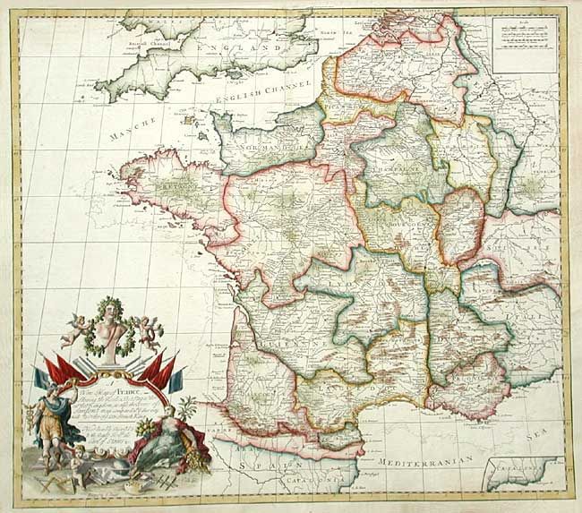
"A New Map of France, Shewing the Roads & Post Stages thro: out that Kingdom…", Senex, John
Subject: France

Period: 1719 (dated)

Publication: New General Atlas

Color: Hand Color

Size:
22.7 x 20 inches
57.7 x 50.8 cm
Download High Resolution Image
(or just click on image to launch the Zoom viewer)

Very beautiful map of France divided into provinces with emphasis on the roads and postal routes. The stunning title cartouche notes that the map corrects Sanson's map with data from his recent survey. Small inset of part of the coastline of Catalonia.

References:

Condition: A

Creases in bottom corners reinforced with tissue on verso. A few tiny spots but overall very good.

Estimate: $250 - $300

Sold for: $325

Closed on 3/3/2004

Archived