Catalog Archive
Auction 106, Lot 350

"Descriptio Batavorum Insulae et Continentis", Alting, Mensone

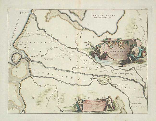
Subject: Netherlands

Period: 1725 (circa)

Publication:

Color: Hand Color

Size:
16.6 x 12.5 inches
42.2 x 31.8 cm
Download High Resolution Image
(or just click on image to launch the Zoom viewer)

A very detailed map of central Holland in ancient times. Shows the course of the Rhine, Waal and Maas Rivers to the North Sea. The map focuses on the regions where the legendary tribe of Batavians reigned. Beautifully engraved with two large cartouches featuring river gods and cherubs.

References:

Condition: A

Bit of faint offsetting, overall very good.

Estimate: $140 - $180

Sold for: $70

Closed on 3/3/2004

Archived