Catalog Archive
Auction 106, Lot 326
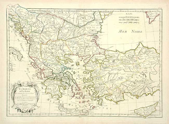
"Turquie d'Europe et Partie de celle d'Asie divisee par Grandes Provinces et Gouvernemts…", Janvier, Jean

Subject: Southeastern Europe
Period: 1770 (circa)
Publication: Atlas Modern
Color: Hand Color
Size:
17.2 x 12 inches
43.7 x 30.5 cm
Download High Resolution Image
(or just click on image to launch the Zoom viewer)
(or just click on image to launch the Zoom viewer)

