Catalog Archive
Auction 106, Lot 204
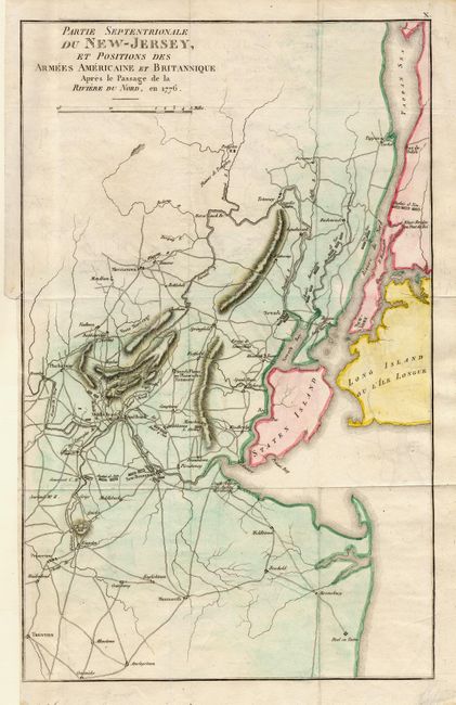
"Partie Septentrionale du New-Jersey, et Positions des Armees Americaine et Britannique Apres le Passage de la Riviere du Nord, en 1776", Marshall, John

Subject: New Jersey and New York
Period: 1807 (circa)
Publication: French edition of Life of Washington
Color: Hand Color
Size:
9.7 x 15.5 inches
24.6 x 39.4 cm
Download High Resolution Image
(or just click on image to launch the Zoom viewer)
(or just click on image to launch the Zoom viewer)

