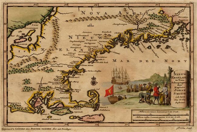
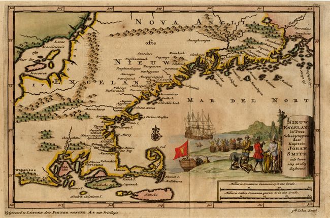
"Nieuw Engeland in Twee Scheepstogten door Kapitein Johan Smith in de Jaren 1614 en 1615", Aa, Pieter van der
Subject: Colonial New England
Period: 1707 (published)
Publication: Naaukeurige Versameling der Gedenk-Waardigste Zee en Land-Reysen
Color: Black & White
Size:
9.2 x 6 inches
23.4 x 15.2 cm
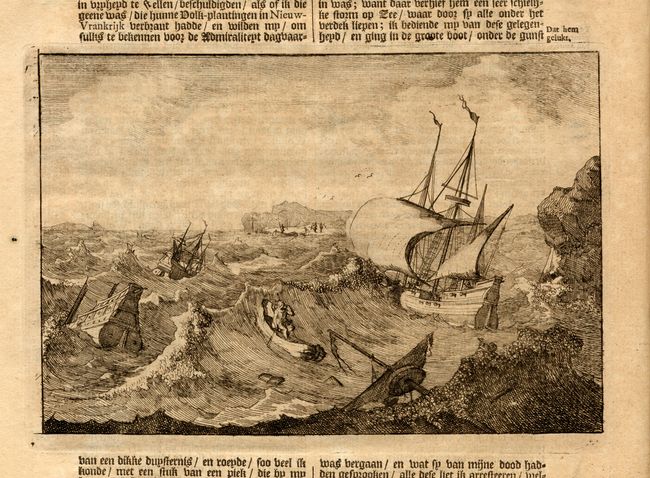
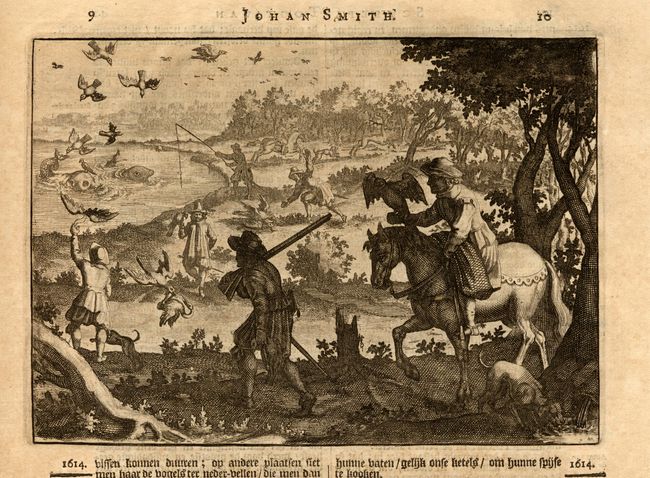
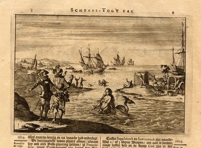
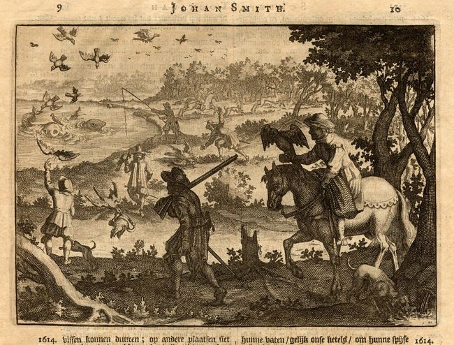
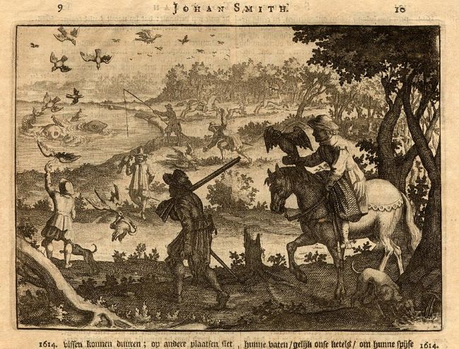
An interesting map covering from Rhode Island to Penobscot Bay featuring a large Lacus Irocoisiensis with several large islands. The map is filled with many place names, both Indian and early colonial settlements. The pictorial title cartouche depicts colonists trading with the Indians. Bound together with the New England section from Pieter van der Aa's series of accounts of important voyages of discovery. The section includes an engraved frontispiece featuring allegorical figures examining a globe showing the North Polar regions, 6 pages of Dutch text with three engraved views (including a charming view of a mermaid), and the folding map.
References: McCorkle #707-2.
Condition: A
Toned with light damp stains at top. Map with a little uneven toning.