Catalog Archive
Auction 105, Lot 610

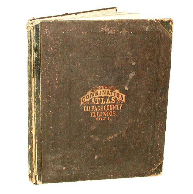
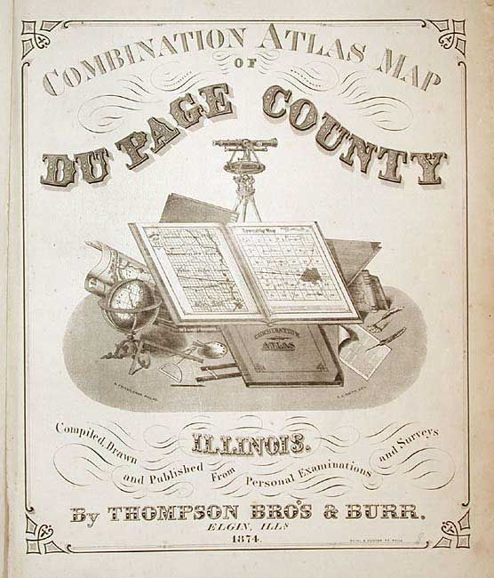
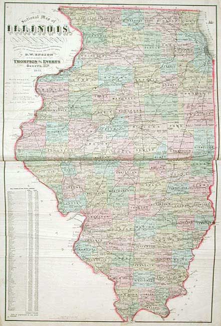
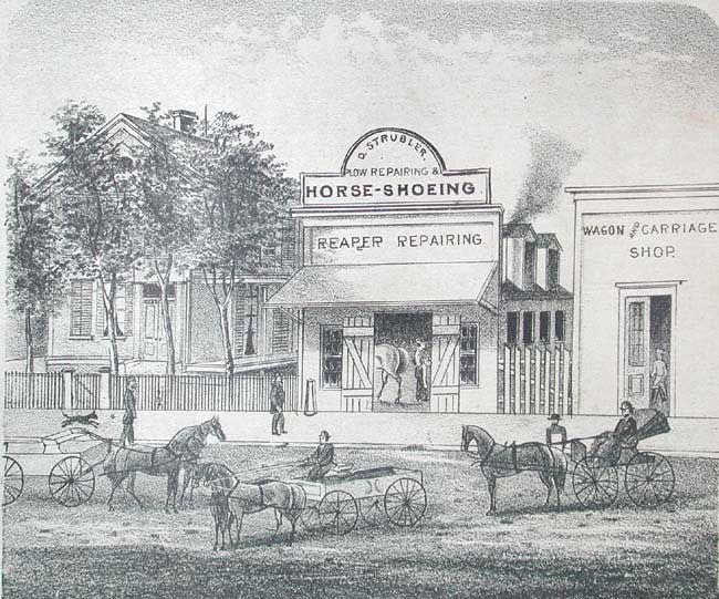
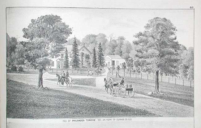
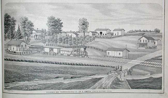
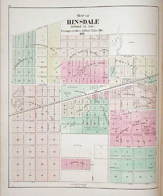
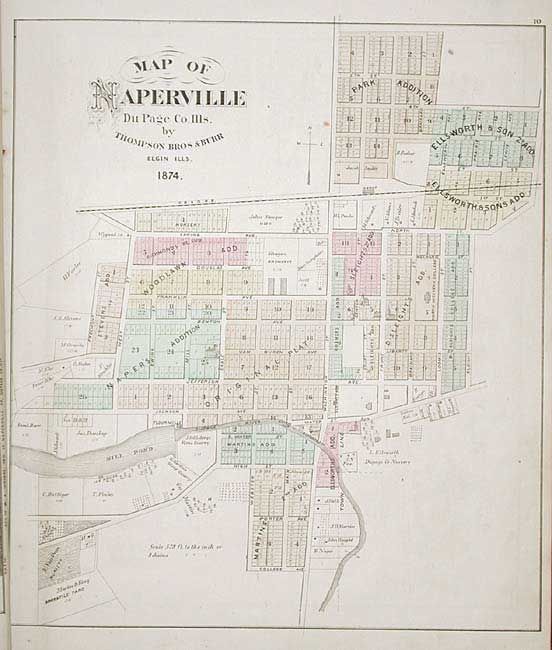
"Combination Atlas Map of Du Page County Illinois. Complied, Drawn and Published From Personal Examinations and Surveys by Thompson Bro's & Burr, Elgin, Ills.", Thompson Brothers & Burr

Subject: Atlases

Period: 1874 (dated)

Publication:

Color: Hand Color

Size:
14.6 x 17.8 inches
37.1 x 45.2 cm
Download High Resolution Image
(or just click on image to launch the Zoom viewer)

Complete and very nice county atlas with dozens of maps and hundreds of stone lithograph views of residences, farms, business, barns, and people. With a large double-page of Illinois on banknote paper. Very detailed town and township plans of Naperville, Downer's Grive, Hinsdale, Winfield, Turner, Milton, Weaton, Warrenville, Elmhurst, Lombard, Wayne, Bloomingdale, and more. Plus history and a list of patron's and their occupations, an invaluable genealogical tool. A terrific atlas that gives an accurate view of this western Chicago area in the 1870's. Original brown cloth with embossed title on front cover.

References:

Condition: B

Covers rubbed and worn, especially spine. Contents tight and generally very good. State map has several creases. One map with corner torn off, away from border. Maps with occasional light foxing but mostly very good.

Estimate: $600 - $700

Sold for: $600

Closed on 12/3/2003

Archived