Catalog Archive
Auction 105, Lot 488
"Bowles's New Pocket Map of the East Part of the Russian Empire in Asia…", Bowles, Carrington
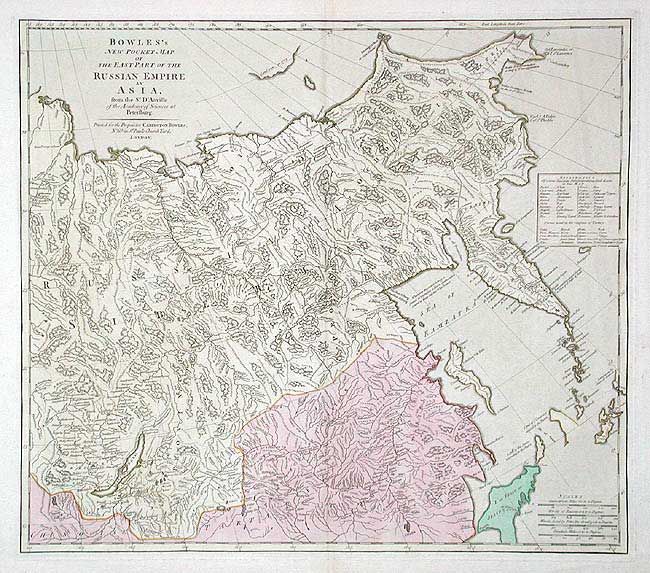
Subject: Northeastern Asia
Period: 1775-80 (circa)
Publication: Universal Atlas
Color: Hand Color
Size:
21.2 x 19 inches
53.8 x 48.3 cm
Download High Resolution Image
(or just click on image to launch the Zoom viewer)
(or just click on image to launch the Zoom viewer)