Catalog Archive
Auction 105, Lot 474
"Een Naukeurige Kaart van het Heilige Land verdeeld volgen de XII Stammen Israels…", Bachiene, Willem Albert
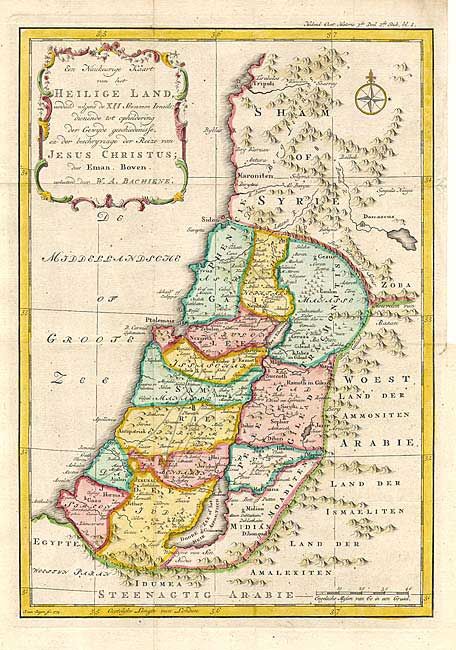
Subject: Holy Land
Period: 1785 (circa)
Publication:
Color: Hand Color
Size:
8.9 x 12.5 inches
22.6 x 31.8 cm
Download High Resolution Image
(or just click on image to launch the Zoom viewer)
(or just click on image to launch the Zoom viewer)