Catalog Archive
Auction 105, Lot 419

"Environs de Prague", Crepy, Paul

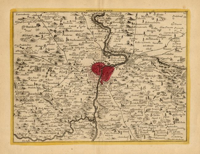
Subject: Czech Republic

Period: 1759 (published)

Publication: Atlas Portatif...

Color: Hand Color

Size:
10.8 x 8.2 inches
27.4 x 20.8 cm
Download High Resolution Image
(or just click on image to launch the Zoom viewer)

Infrequently seen chart of the region surrounding Prague with excellent detail around the large fortified city. Locates rivers, topography, roads and numerous towns and villages. Prague is colored with the balance of the map uncolored.

References:

Condition: A+

Fine impression and original coloring on thick hand laid paper.

Estimate: $100 - $120

Sold for: $130

Closed on 12/3/2003

Archived