Catalog Archive
Auction 105, Lot 345

"Le Royaume de Prusse", Crepy, Paul

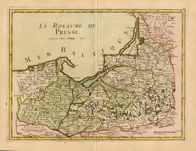
Subject: Poland, Kaliningrad & Lithuania

Period: 1757 (dated)

Publication: Atlas Portatif...

Color: Hand Color

Size:
10.8 x 8 inches
27.4 x 20.3 cm
Download High Resolution Image
(or just click on image to launch the Zoom viewer)

Uncommon map that shows northern Poland, all of Kaliningrad and part of Lithuania. Locates Culm, Elbing, Dantzick, Konisberg, and Klaipeda. Excellent detail of rivers, topography, forests, and roads with scores of villages named.

References:

Condition: A+

Fine impression and original coloring on thick paper with full margins.

Estimate: $140 - $160

Sold for: $140

Closed on 12/3/2003

Archived