Catalog Archive
Auction 105, Lot 328
"Carte de l'Empire d'Allemagne Divisee par Cercles", Bourgoin, P.
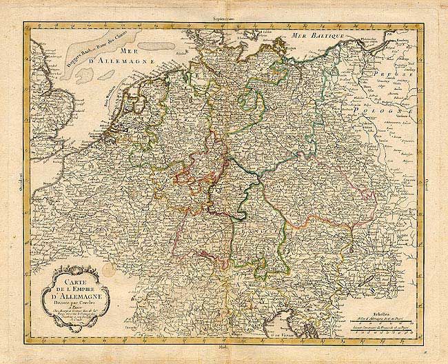
Subject: Central Europe
Period: 1784 (published)
Publication: Atlas Elementaire de la Geographie
Color: Hand Color
Size:
16.5 x 13.2 inches
41.9 x 33.5 cm
Download High Resolution Image
(or just click on image to launch the Zoom viewer)
(or just click on image to launch the Zoom viewer)