Catalog Archive
Auction 105, Lot 183

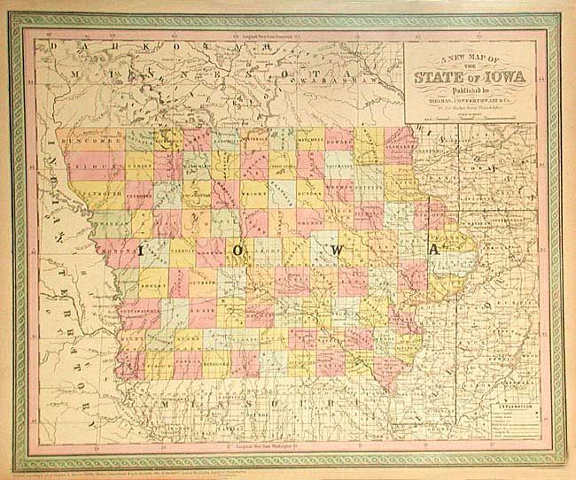
"A New Map of the State of Iowa", Thomas, Cowperthwait & Co.
Subject: Iowa

Period: 1853 (published)

Publication: Mitchell's New Universal Atlas

Color: Hand Color

Size:
15.9 x 13 inches
40.4 x 33 cm
Download High Resolution Image
(or just click on image to launch the Zoom viewer)

Handsome map of the state divided into counties with the northwest ones unsettled. Names many cities and towns, forts, shows numerous wagon roads, rivers and an Indian agency. No railroads are indicated. Very nicely engraved with good detail.

References:

Condition: B

Pleasant ivory toning and original color. Paper tear into inscription outside border, else very good.

Estimate: $100 - $120

Unsold

Closed on 12/3/2003

Archived