Catalog Archive
Auction 105, Lot 140

"Part of the United States of North America", Stockdale, John
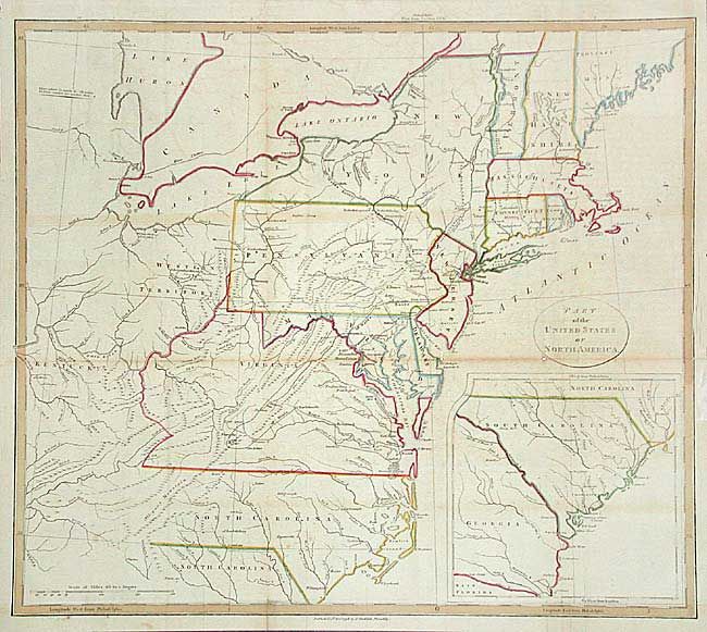
Subject: Eastern United States

Period: 1798 (dated)

Publication: History of the Mission of the United Brethren among the Indians of North America

Color: Hand Color

Size:
18.5 x 16.2 inches
47 x 41.1 cm
Download High Resolution Image
(or just click on image to launch the Zoom viewer)

Early map of the young United States filled with great information on the early roads and settlements. The map covers from the Province of Maine through North Carolina and a large inset covers South Carolina and Georgia. West of the states are Western Territory and Kentucky. The villages of "Christian Indians" are located.

References: McCorkle #798.5; Phillips (M) p. 872.

Condition: B

Issued folding with light toning along folds. Small fold separations, closed with archival tape.

Estimate: $300 - $350

Sold for: $350

Closed on 12/3/2003

Archived