Subject: History Books
Period: 1972 (published)
Publication:
Color: Black & White
Size:
24 x 18 inches
61 x 45.7 cm
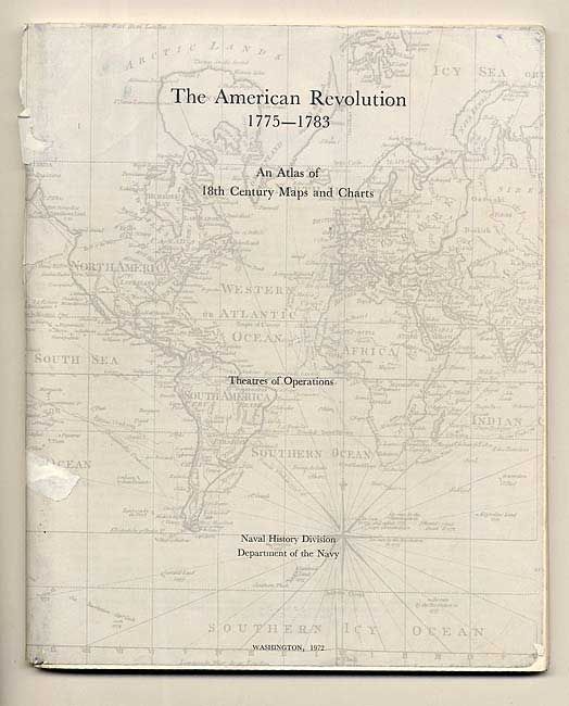
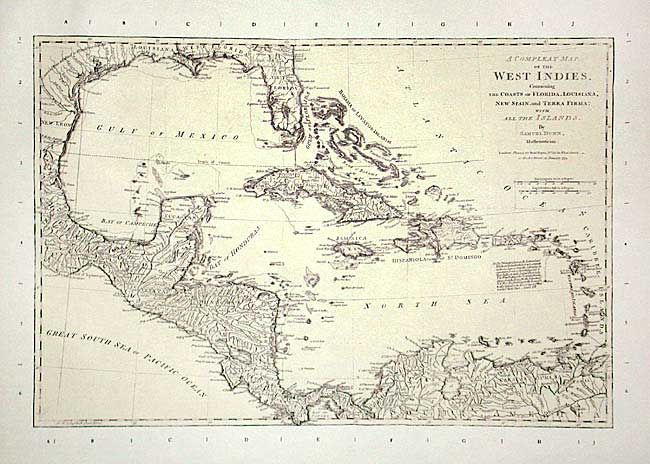
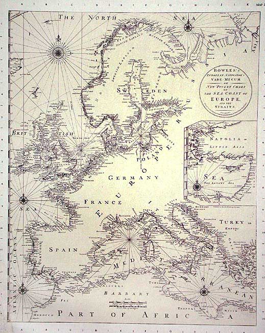
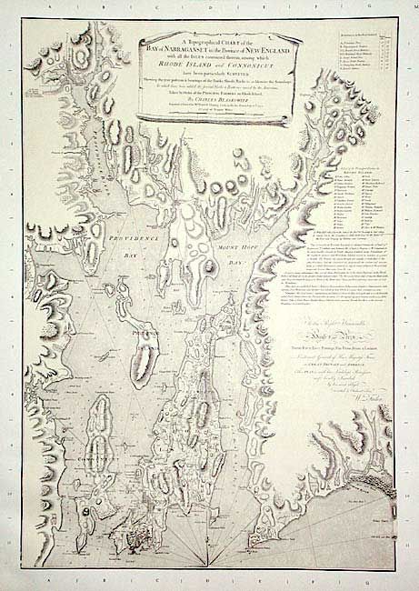
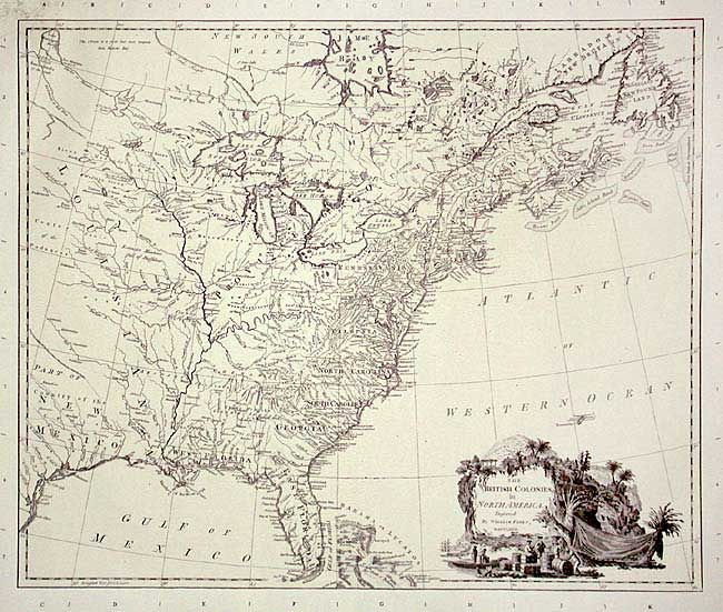
With 20 reproduction maps (21" x 16") and 85 pp. trade booklet in stiff blue cloth portfolio with Velcro closure. The booklet geographically indexes thousands of place names, forts, etc. to the maps. Some of the maps include: A chart of the Atlantic Ocean 1775; British Colonies in N. America 1727; Bowles New Pocket Map of the most Inhabited Part of New England 1775; Chart of harbor of Boston 1775; Topographical Chart of Bay of Narragansett, etc. etc. 1777; Map of the province of New York 1777; Sketch of the Operations of his Majesty's Fleet and Army,1777; A Topo Map of Hudsons River, with channels, rocks, shoal, etc. 1776; Province of new Jersey, 1777; as well as maps of Pennsylvania; Delaware Bay and River; Virginia/Maryland; Chesapeake; the Carolinas; Charleston; Coast of W. Florida & Louisiana; West Indies, etc.
References:
Condition: B
Book has a little wear and two tears on staples of spine. A few stains on inside fold of portfolio and Velcro has come away from front cover, remnants of glue. Water stains and some mold on maps, mostly in the blank margin, left top.